Random Windows Spotlight images
page 8 / 10
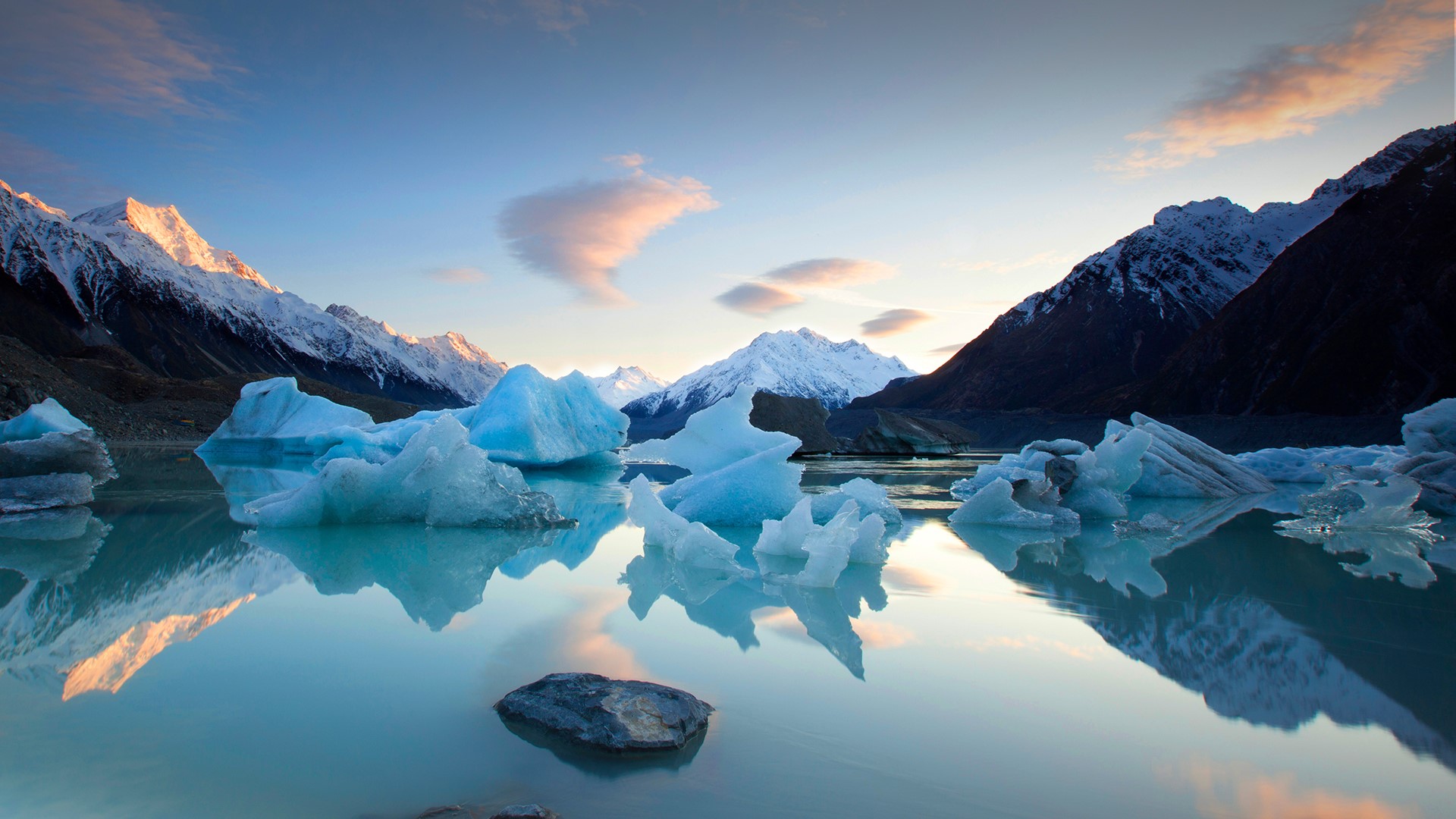
The Tasman River at Aoraki / Mount Cook, New Zealand
With all the jagged chunks of ice floating about you won’t be surprised to learn that this river’s headwaters spring from a glacier. And while some visitors come to admire the beautiful waterway, many intrepid climbers head to this part of New Zealand to take on the immense mountain looming above. Aoraki / Mount Cook is a tri-peaked massif, the country’s highest, and New Zealand’s own Edmund Hillary conquered Cook as a prelude to his ascent of Everest. In 1998 the mountain’s original Māori name, Aoraki, was restored.


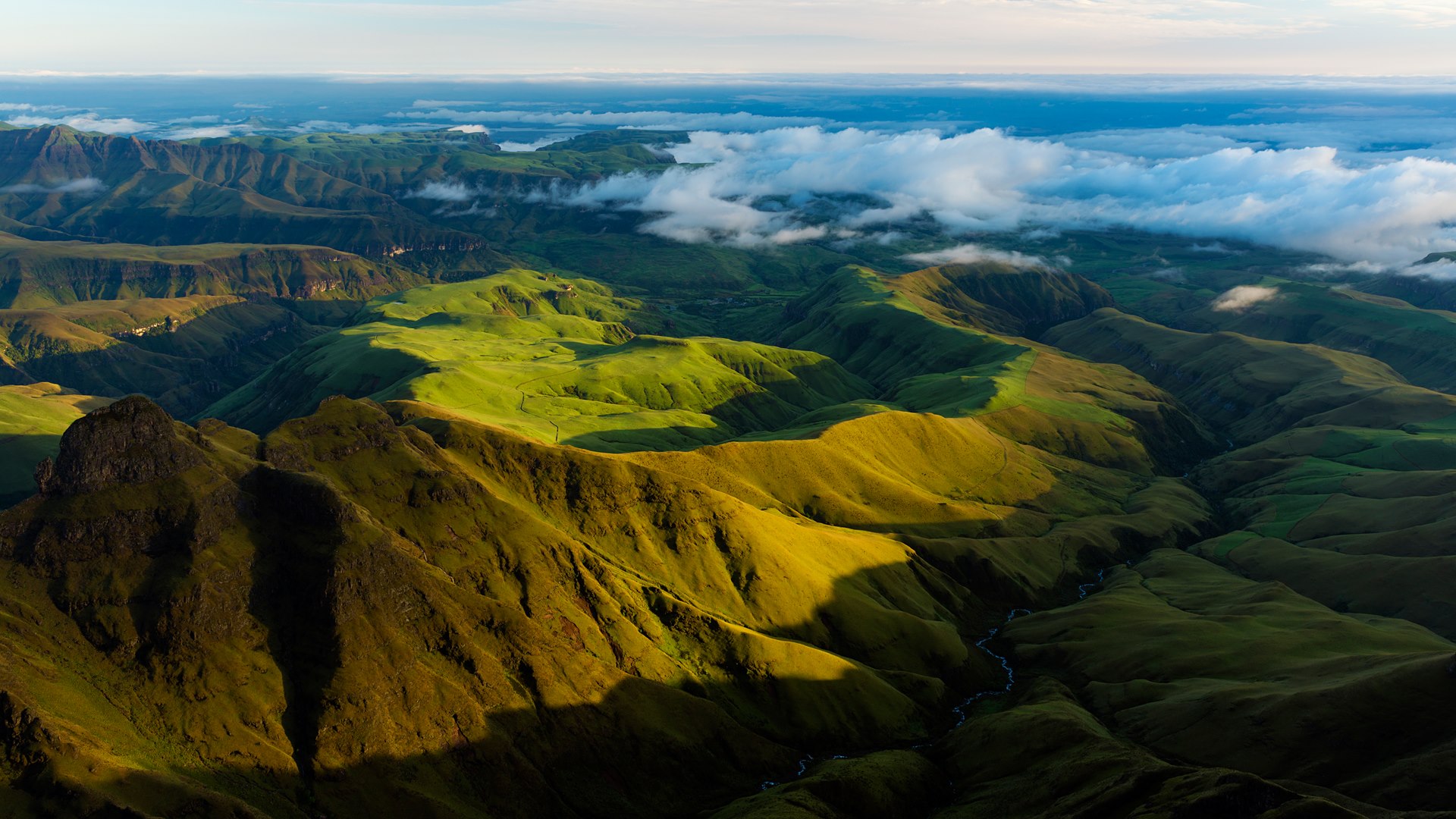
View across the Drakensberg region of South Africa
The Zulus call this mountain range uKhahlamba, which means ‘Barrier of Spears.’ Others call it the Drakensberg, meaning ‘Mountains of Dragons’ in Afrikaans. Those are suitably dramatic names for a region that lives up to them. This majestic scenery stretches more than 600 miles from south to north across at least five South African provinces. High, craggy basalt peaks alternate with vast forested valleys, and deep ravines cut through the landscape. The geologic forces that crafted this mountain range are myriad and complex, but the result is just plain awe-inspiring.

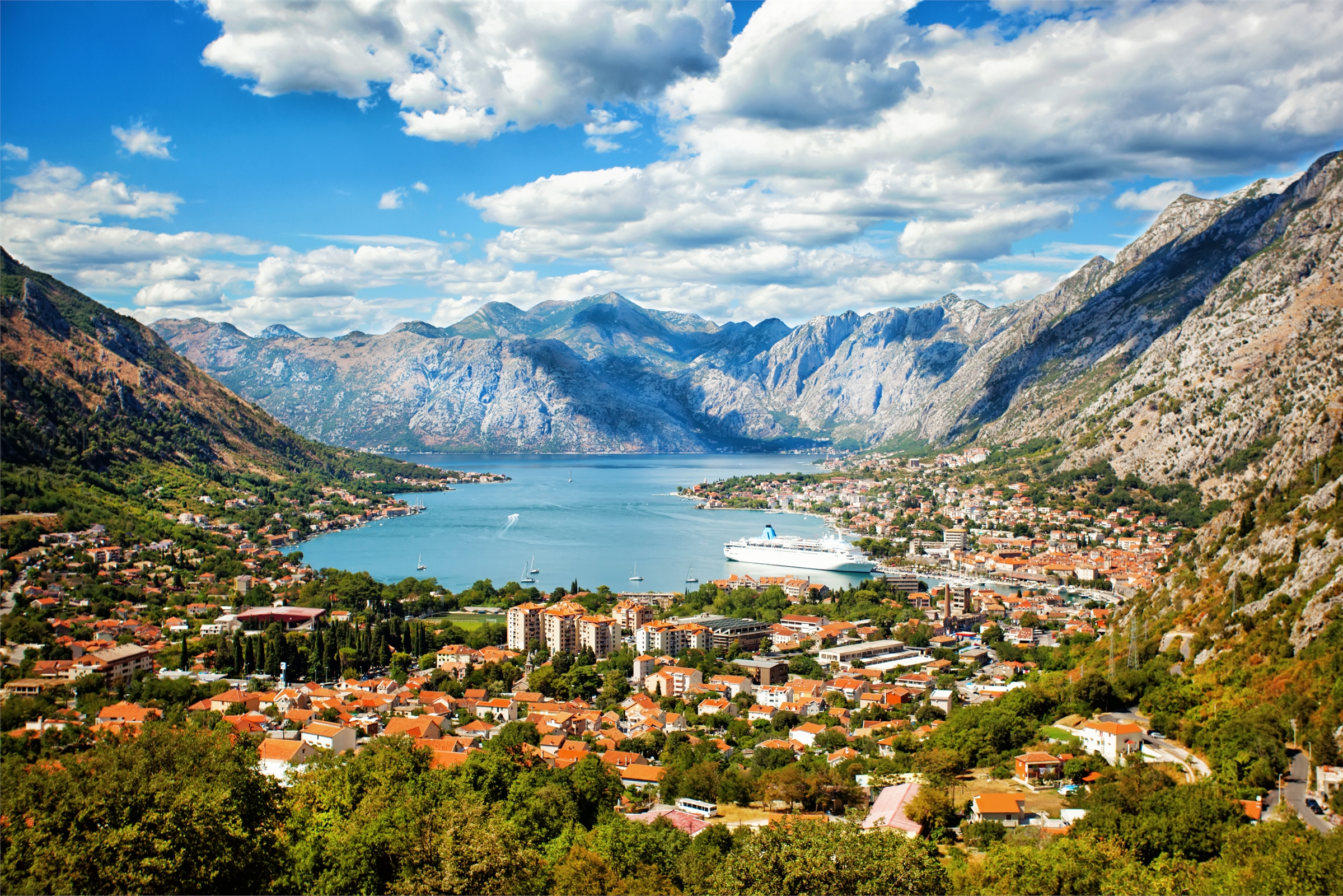
Kotor, Montenegro
Kotor, Montenegro, is perfect for nature lovers as it houses the Lovćen. Guests will love the attraction as it features a massive mountain with many hiking and biking trails. The tourist spot also has a mausoleum that visitors should check out since it offers much information about the local city. Aside from this, the city also features a church called, Our Lady of the Rocks. It is unique for it stands on an artificial island.

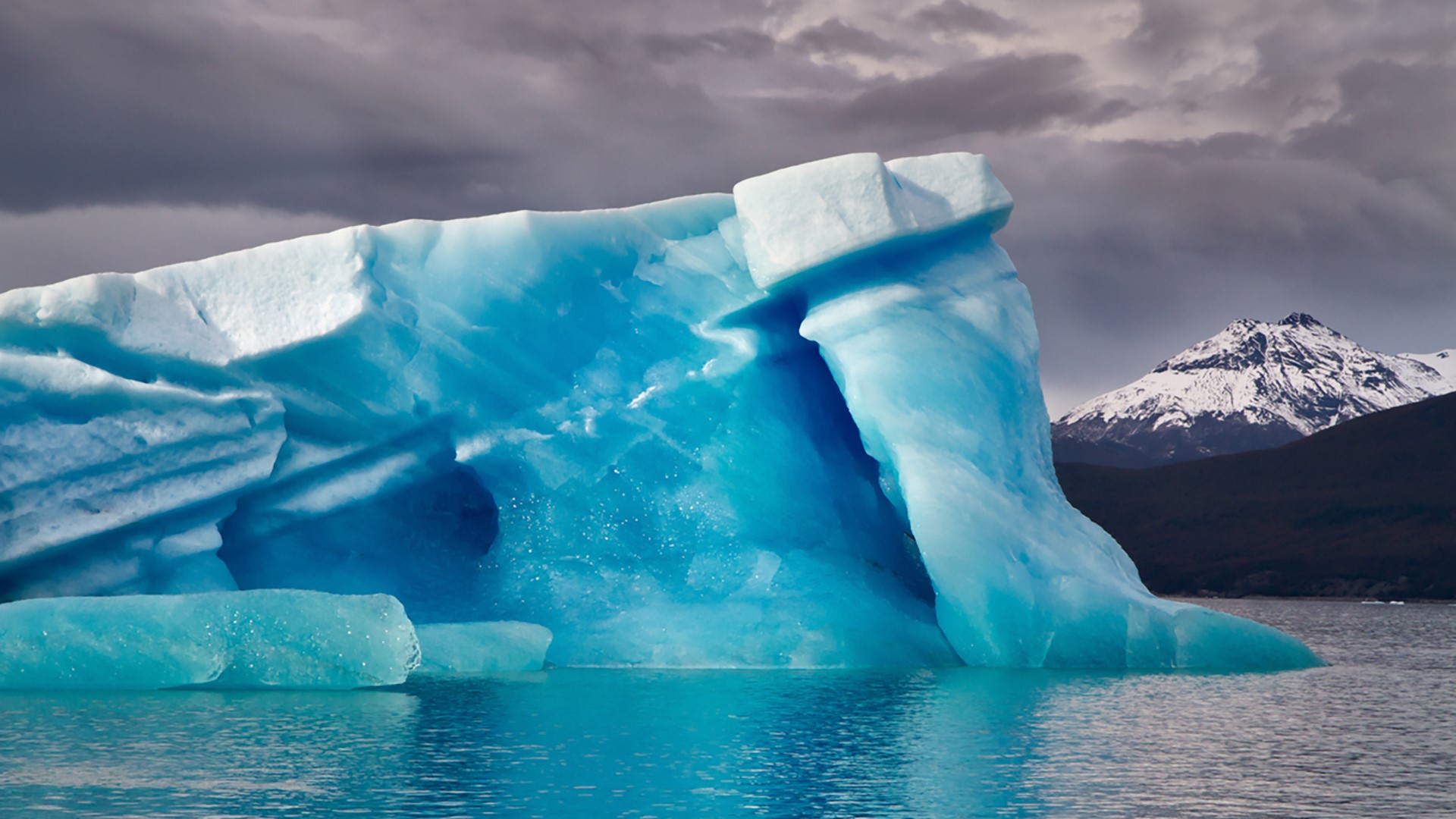
An iceberg on Lake Argentino in Patagonia, Argentina
What happens when you live underneath the world’s third-largest ice cap, just south of dozens of massive glaciers, all of which melt right into you? You become the largest freshwater lake in the country: Lake Argentino in the wilds of Patagonia, Argentina. With 546 square miles of surface area, the lake has plenty of room for visitors to ply the waters, getting close to gargantuan glaciers such as this one. Lake Argentino lies entirely within Los Glaciares National Park, a place brimming with scenery so spectacular it borders on the unbelievable. It’s more than just a pretty picture: Bring your rod and reel—great fishing is to be had here, too.

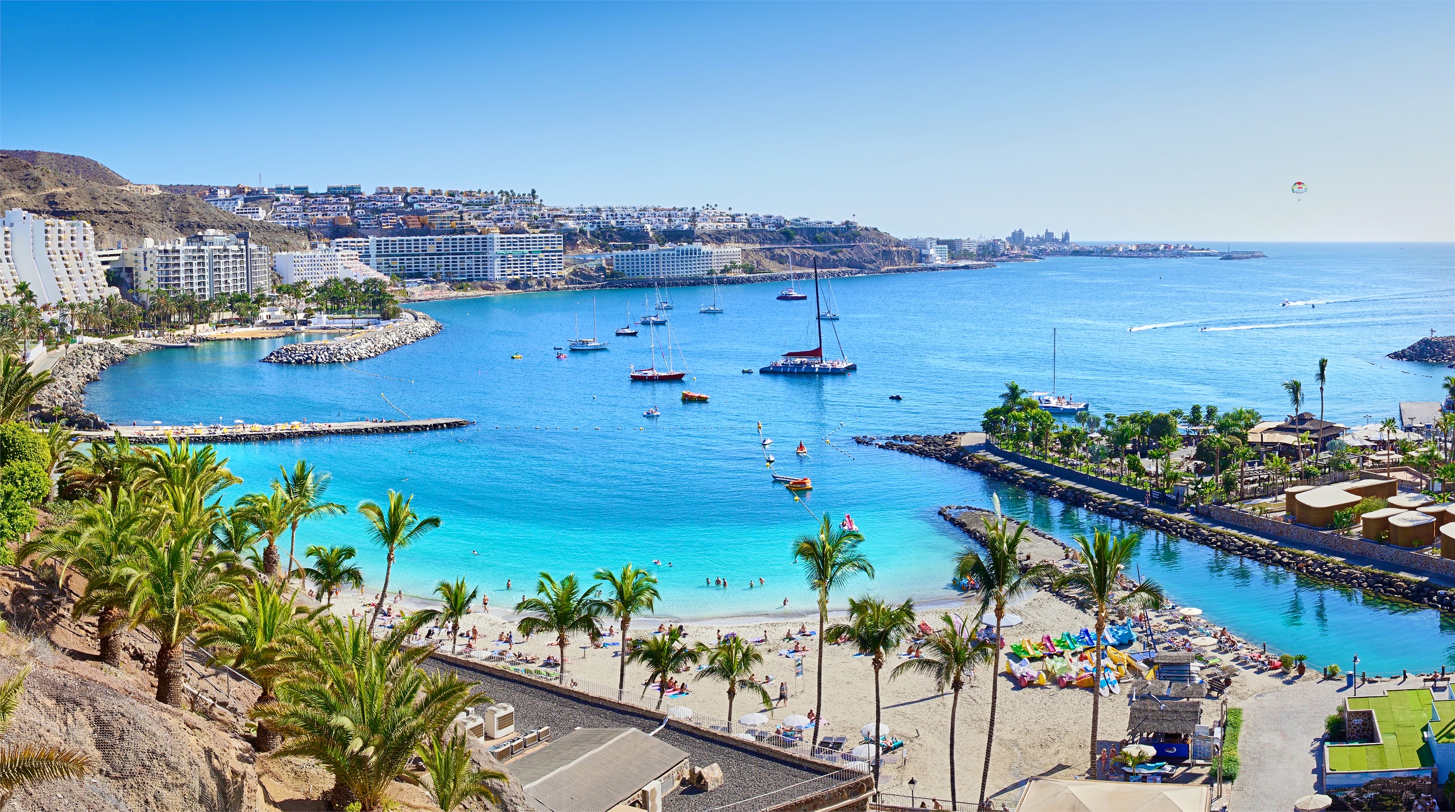
Gran Canaria, Spain
Gran Canaria was not always known by its name since it was simply known as Canaria, originally. It was later given the label, “great”, which translates to Gran because of its Canaria inhabitants. It has 847,830 inhabitants which comprise 40% of the population of the archipelago and a total land area of 1,560 square kilometers. Located 1,350 kilometers from Europe, the island comes third in size among the Canary Islands, off northwestern Africa. It is known for its white-sand beaches and black lava. The lively southern beaches are a haven to avid beachgoers while the north capital city is visited for duty-free shopping being a major dock area for cruise ships.

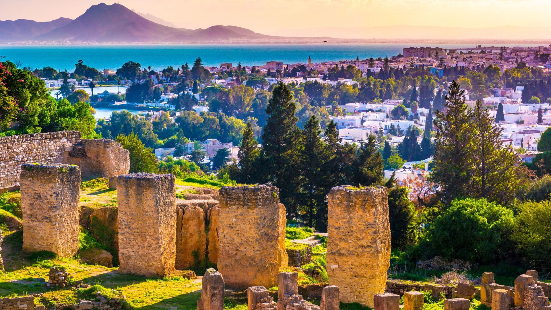
Byrsa Hill in Carthage, Tunisia
From this vantage point we see a panorama of Carthage and the blue Gulf of Tunis beyond. But this hilltop spot isn't only a great place to take in the view. Those time-worn stones in the foreground hint at the history here. Byrsa Hill has been a strategic site for millennia—and most major regional powers controlled it at one point or another. Figurative 'kings'—and legendary queens—of this hill included Amazighs, Phoenicians, Romans, Vandals, and rulers of the Byzantine Empire. Byrsa Hill was once topped by an enormous citadel that was reputedly the last bastion in Carthage to be conquered by the Romans in the Third Punic War. Today the hill is dotted with what remains of a residential area known as the Punic Quarter.

Random Windows SpotLight images - page 8 / 10